Photo credit: Proloco Popiglio
routes / In the mountains
At the Borders of the Grand Duchy: A Journey Through History and Nature
From Pian degli Ontani to Cutigliano
Abetone CutiglianoSan Marcello Piteglio
routes
In the mountains
length
54.0 Km
Difference in altitude
1690 m (up), 1860 m (down)
Means of transport
MTB
A Challenging Route to Cycle Through History, Along Trails, Bridges, and Rocks Bearing the Marks of Centuries Past.
Stages Itinerary
Riserva Naturale Biogenetica di Pian degli Ontani
Abetone Cutigliano
San Marcello Piteglio
stage 1
Riserva Naturale Biogenetica di Pian degli Ontani
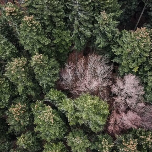
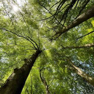
The Riserva Naturale Biogenetica di Pian degli Ontani is an area of great natural value established to preserve and enhance the habitat of monumental beech forests. These forests originated from the conversion of woodlands that were once used for charcoal production, which was employed in the numerous ironworks in the area.
Popiglio
Abetone Cutigliano
San Marcello Piteglio
stage 2
Popiglio
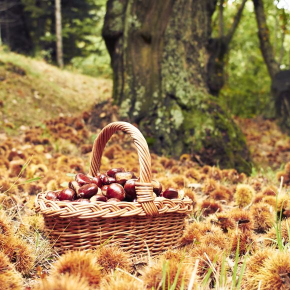
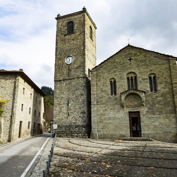
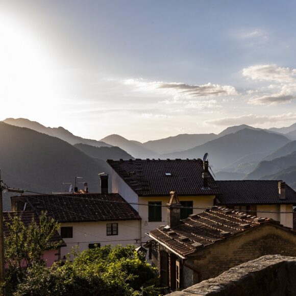
Once more following the 'Cammino di San Bartolomeo', we begin our second day which will be both tough and demanding. Most of the time, we will be in the midst of a thick wood of chestnut trees, crossing streams and plodding along cobbled paving. Shortly before coming to Popiglio, you come across the Masso delle Streghe - the Witch's Rock - and the Masso del Diavolo - the Devil's Rock - particular rock formations which are rich in legends.
The welcome you find at Popiglio refreshes you so you can now visit the Pieve di Santa Maria Assunta and the 'Museo Diocesano di arte sacra' - the Parish Museum of Sacred Art - before setting off again.
San Marcello Piteglio
Abetone Cutigliano
San Marcello Piteglio
stage 3
San Marcello Piteglio
With abundant historical evidence from the 14th century on, San Marcello Pistoiese stands on a woods-covered hill. Other particularly interesting, nearby communities are the ancient villages of Maresca, located on the edge of the Teso State Forest, and Gavinana, home to the Francesco Ferrucci Museum and the Ecomuseum Information Point in the ancient Palazzo Achilli.
The village of Piteglio dominates the Val di Lima, where the important and ancient trans-Apennine road linking Pistoia to the Garfagnana ran. In the 11th -12th century, it was a fortified castle, an observation point under Pistoiese control. An easy distance from Piteglio are the hamlets of Macchia Antonini, Crespole, Lanciole, Calamecca and Migliorini.
Ferriere Suspension Bridge
San Marcello Piteglio
stage 4
Ferriere Suspension Bridge
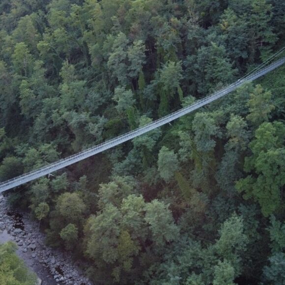
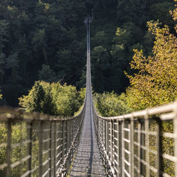
The Ferriere Suspension Bridge, built in 1923, is made up of a pedestrian gangway with four steel cables, 227 metres long and 36 metres high. This hanging bridge joins the two sides of the Lima River and, in the past, Popiglio's labourers who worked in the metallurgic factories on the opposite side of the mountains saved themselves the trouble of travelling six kilometres every day by crossing over it. Nowadays you can cross the bridge from one side to the other and can enjoy a truly breathtaking panorama!
Abetone Cutigliano
Abetone Cutigliano
San Marcello Piteglio
stage 5
Abetone Cutigliano
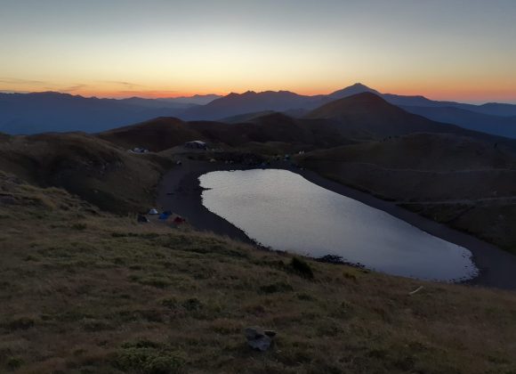
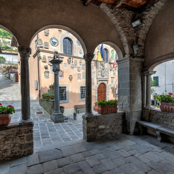
Surrounded by a large fir forest, Abetone is located on the Abetone pass at the border between Tuscany and Emilia. It is the most important winter-sports resort in central Italy and recognized worldwide for its beauty and variety of its slopes. The area is divided into four valleys: the Scoltenna, Sestaione, and the Lima Valleys plus the Val di Luce. With its narrow streets lined by ancient palaces and monuments, Cutigliano still retains ample traces of its medieval past. A popular as winter holiday resort with the Doganaccia ski resort, while, in, Cutigliano offers summertime choices of nearby walks and excursions to Lake Scaffaiolo, Melo, Pianosinatico, Pian di Novello, and Val del Sestaione.

